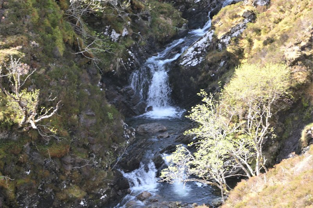
Foot Bridge crossing the Toll Breac Odhar.
Loch Monar
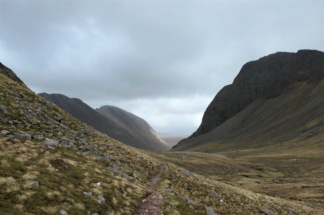
Heading down towards Monar Lodge
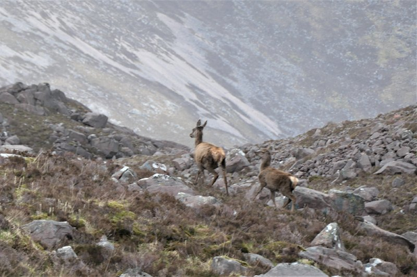
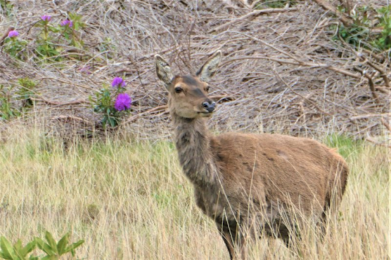
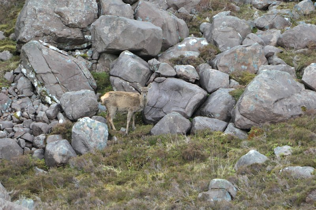
I meet Deer on the road at the Dam.
I camp at my planned site at the entrance to an old quarry below Torr a Chlarsair, the view is lovely up the valley.
Daily Mileage 15.8 Miles
Ascent 1568ft.
In the morning the wind picks up I manage to get everything packed away and my waterproofs on before the rain starts.
This is a planned day of 16 miles of road walking, I intend to camp behind a church at Eskadale.
Struy Church
The rain is heavy the whole day. I reach Eskadale church early, my planned camp site would have been fine if I had arrived later in the day, but I decide to push on as the heavy rain is no incentive to stop.
I catch a shop as it is closing in Kiltarlity and grab some Chocolate and Lucozade. I join the A833 South then take a minor road past Foxhole farm. The road rises 780 ft in the next 2 miles. As the rain eventually eases I join the Great Glen Way. The signs for the Abriachan cafe camp site is too tempting to bypass, so I swing in there.
Mad Hatters Tea party
What a find!
It is a cross between a Mad Max Movie set and the Garden of Eden, brilliantly eccentric and somewhere I would definitely stop at again. I ordered soup, oatcakes, cheese, tea and a cake which had been newly baked by the Orkney born host, superb!
After my 5th cup of tea, I set up my tent and slept like a log.
Daily Mileage 25.3 Miles
Ascent 1375 ft
The weather the next day was bright and sunny, the following breeze help push me along the great Glen way into Inverness. A couple of miles from Inverness I called the Torridon Guest House and struck it lucky they had one room left.
There is a laundry 100m from the guest house, so I got everything washed and ready for the next morning. I had a feed of Fish and Chips for tea and a saunter around the town Centre.
Footbridge across to the Ness Islands.
Faith Hope and Charity Statue.
Daily Mileage 12.2 Miles
Ascent 203 ft.
Weather the next morning was bright and breezy, I quickly got out of Inverness and headed out the General wade road intending to wild camp at Tomatin.
Us Frasers are a fly bunch!
I passed under the A9 to walk along the very quiet B9154.
I stop here and have my lunch.
I cross the A9 again and follow a path parallel to it.
I pass under this fantastic Railway Viaduct.
I stop at the Cafe, to get Chocolate Bars and some milk. They had just closed for meals so I also took some prepacked sandwiches.
From their window I could see the other two of their famous 3 Bridges.
There were no obvious spots to camp and it still felt a little early to stop, so I crossed the Findhorn bridge and pushed on taking a minor road, then a hill track up over Carn Na Lair, eventually stopping to camp beside the forest just before Insharn Farm.
I briefly, meet my first challengers who were camped here and stopped for a word, but they seemed tired, I think they were foreign, their English was no better than mine, so I camped on the other side of a knowe and left them in peace. This was the first Challengers I had met in 5 days having covered 96 miles. At last, I was starting to catch them up.
Ascent 2572 ft
The next day was a relatively short walk in nice bright weather, following the river up to the bridge after Caggan, then the Burma Road into Aviemore.
An interesting Memorial
Aww
The Bridge Across River Dulnain.
The Burma Road
I hadn't booked any accommodation but found this B&B with a vacancy, it was excellent!
If I ever walk through Aviemore again I won't look anywhere else, it was perfect!
I feasted on Pizza at a local Restaurant and felt ready for tommorows walk.
Daily Mileage 13.8 Miles
Ascent 1385 ft
My plan had been to head high and after Ben Macdui camp at Loch Etchachan, the BBC Forecast was wind, so I phoned Control in the morning to check what they thought. They advised that unless I was nearly there already it may be best to stay lower as it looked like the wind was picking up. As I was still in Aviemore I decided to just head through the Lairig Ghru. I had been this way before and knew I would be OK passing through.
The path through the forest
The Cairngorm Club Footbridge.
A distinctive tree I photographed in 2017.
I was impressed then how it had struggled to survive, with its branches grown upwards like separate trees after it has fallen over.
I couldn't believe someone had chosen to build a fire next to it and badly damage its bark.
First sight of the Lairig Ghru
Looking back at Aviemore from the Lairig Ghru
I pass quite a few walkers as I head through, it is nice to see it again. There is no snow at the top of the pass this time. Last time there was still quite a bit lying underfoot.
I chat to a local elderly father and his daughter who had walked up and were resting and taking in the view before heading back down. Nice, really nice, building memories.
The Corrour Bothy
The Devils Point towers over the Bothy
Looking Back up the Lairig Ghru
Shortly after passing the Bothy, I take the track to Derry Lodge where I camp for the night.
Daily Mileage 18.7 Miles.
Ascent 2457 ft
The next morning, I set off to Callater Lodge passing a couple of challengers who I show the way to Mar Lodge, we have some tea and the biscuits that the estate kindly provided. Luckily, I have some real money in my Rucksack that I can put in the donations tin.
The couple move on shortly after, but I stay for about an hour to meet some more Challengers, as I have seen very few this trip.
It has to be Tim :)
It is!
I am Delighted to meet my old friend and meet some new ones.
Rich, Peter, Dean and Emelie are there.
Carl and Juraj turn up too, they have been doing an outrageous amount of Munros I think they had done over thirty before reaching Mar Lodge and went on to complete at least 50.
Respect!
After Mar Lodge, I eat in Braemar then head up to Loch Callater Lodge to camp.
I pass Braemar War memorial
This is the first time I have stayed the night here, and now understand why it holds such an important place in the TGO Challengers hearts.
Many, many thanks To Bill and his helpers.
Croydon leads of the singing
Some kent (known) faces from previous Challenges and some new
It's good to see Brian again with fellow American walkers Rita and Mark. I walked a couple of days with Brian in 2017. I speak to Lindsay and her son Grant on his first challenge. He completes this year's TGO bravely with mince in his shoes rather than feet. Tough Lad, a chip of his mother's Block. He will be back!
The party has started!
Three pals enjoying each other's company, TGO legends to a man!
It is great night; I can see why this an obligatory stop for many Challengers.
I retire to my tent early about midnight and know nothing until at least 7 o'clock.
Daily Mileage 13.4 Miles
Ascent 748 ft
I get ready and head off, the weather isn't great with very low clouds. Once I reach about 600m there is really no visibility, I pack my camera in the rucksack to protect it from the wet, it won't get used today.
The path leads up through thick wet clouds, visibility is just a few metres, I go past Carn an Tuirc without summiting, as there will be no view and it's not worth walking the extra few hundred metres to say "I got the Summit" with nothing to see. I am not a Munro Bagger as its not practical living in Shetland, I have enough other tick lists that I am doing to keep me annoyed for years 😀
The path goes over the summit of Cairn of Claise. My planned route takes me over Glas Maol then on to Creag Leacach. I attempt to bail-out towards the Ski Centre, but the visibility is so poor and the route too steep to chance, that I revert to my planned route and push on to Greag Leacach. I meet the first walkers of today, coming in the opposite direction, who say they have just come up from the car park and are doing a circular route back to their car. They don't believe me when I say I have come from Torridon and will finish in Arbroath. Just before the summit of Carn Ait I use a fence as a handrail towards Mallrenheskein. I Drop down about 120 Metres and it takes me below the cloud layer, So I change direction and head down quickly another 250M to join a track leading eventually West of Loch Beanie, to join the Cateran Trail near the outdoor centre.
The weather is completely different here. On the hill my hands were seizing up with the cold due to wet gloves, as I walk along the Cateran trail I take off my waterproofs to cool down, and wring out the water from my gloves (Note to self, Take waterproof gloves next year).
I was on this trail last year and realise that if I pick the pace up I could get last meal orders at the Glanisla Hotel. I phone them, book a room for the night and a table then push the last 9 miles quite hard. Success! I get there early and have time to get a shower and a pint before my meal.
Dalnaglar Castle
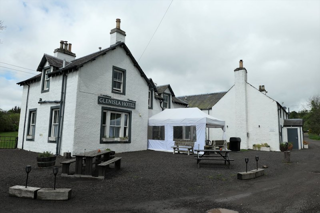
The wonderful Glenisla Hotel
Daily Mileage 24 Miles
Ascent 2963 ft
My route today follows the Cateran Trail South to Alyth
Foot Bridge across the River Isla.
Loan Head Farm, Cateran Trail junction with the Coffin Road.
It is raining again as I pass through Alyth. I am about a day ahead of Schedule, and not sure where I will stop today, so I wander on to Meigle following the B954. I get a sandwich and juice from a small shop there then back track out to follow a minor road towards Forfar. The area is extensively farmed, and I start to wonder if I will get a decent pitch for the night. After a couple of miles, I find the ideal spot up a side road in "Boat Wood".
I have had a sore scalp all day and feel that I have burned my head, which I am surprised about as I still have a good head of hair and the weather hasn't been particularly sunny, I also have had some earache, so I have been taken Paracetamol and Brufen.
Daily Miles 16.4 Miles
Ascent 1007 ft
I walk into Forfar the next morning and still feeling some earache decide to spend the night at a Hotel.
I don't feel tired, only a bit sore in the head.
Daily Mileage 12.4 Miles
Ascent 213 ft
After a good breakfast, I head out from Forfar, following minor roads, I take a small detour to look at a Roman camp, where the walls/ditches are still vaguely visible. I then try to go through Crombie Country Park but eventually have to backtrack due to fallen trees. I had intended to go through Pitlivie Wood but there were signs up closed for shooting, so I carried on to Muirdrum. I contemplated walking directly in on the A92, but it didn't look either a safe or interesting way to finish my walk, so I went back up to the other side of Pitlivie Woods to join my planned route. I then followed it in to Arbirlot then down Hill to join the A92 for the last mile to finish on the west links Beach Arbroath.
I phoned Control to say I had finished then nipped up to the railway station and caught a train to visit my daughter Sanna who is doing her Masters in Dundee.
I stay a night and then come back to sign out and attend the meal at the Park Hotel.
Fallen trees in Crombie Country Park
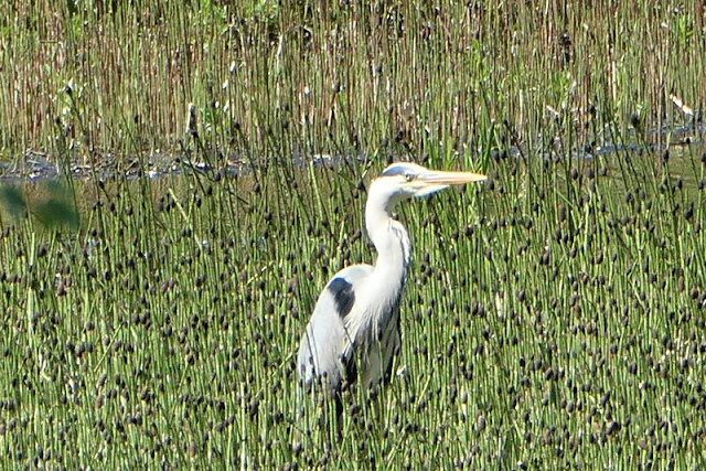
Hagri (Heron)
The Arbroath Light House
The route over the railway line to the beach
Toe dipping in the North Sea
Daily Mileage 24.7 Miles
Ascent 1030 ft.
A peerie wander around the Montrose Beach before the meal at night.
The Scurdie Ness Light House Where I finished last years Challenge.
Walk Final Summary
I walked a total of 220 miles over 12 Days giving an average of 18.3 Miles per day with a total Ascent of 18890 ft.
My head still felt a bit burned, but I enjoy the meal and meeting up with other Challengers.
the next day I catch the bus to Aberdeen then the ferry to Shetland.
My wife suggests I see my doctor about my head, it turns out that I had got shingles in the head.
After a course of tablets its sorted and I start to think of what route I should take for the 2023 walk.
Overall, I felt the walk went well, there were no upsets. My equipment worked well, but I will continue to look to improve it. Possibly the mileage I did prior to the TGO contributed to the shingles; I have no need to do so much next year and will skip the RigRun, if I am accepted for the TGO Challenge.
My new tent, a Tarptent Notch Li, was as good as I had hoped. I have been contemplating buying one for 2-3 years now, and finally took the plunge. It is perfect for this type of walk.
There is still a role for my Big Agnes 2 though, probably more for shorter walks where I may be spending more time in the tent and want the luxury of more room, or for using as a base camp.
Last year I wore Inov-8 Roclite pro g 400 Gtx boots and was disappointed in them. They just couldn't do the job. This year I changed to Salomon x ultra 4 gtx Boots and the difference was huge.
There were many wet days, and the hills were usually soaking. I suffered no leaks and only slight dampness came from sweat. They were noticeably more stable when traversing unpathed slopes.
I recently got slight dampness walking in the hills in rain, on one boot that has a slight fabric tear across the toe box and that is after 500 miles plus, with no boot cleaning, or treatment applied in the life of the boot.
My Sleeping Mat, a Sea to Summit Ether Light XT was bought because, although it is a couple of oz heavier than the lightest mats, it has the reputation of being the comfiest and most stable mat around. It is a keeper; I will not be looking for anything different.
My Rucksack is getting a little tired, and that may be my next Christmas or Birthday present to myself.
Current one is the previous styled Osprey Exos 58.
Possible change to a Gossamer Gear Marriposa if the wife doesn't see the price!
