From Loch of Voe/Sae Water to Islesburgh
30/06/2018
30/06/2018
Start today heading North up Su Stanes


Looking back at the end of Yesterdays walk


Su Stanes and a Bonxie


A peep West at Voe


Looking back at Su Stanes and the Loch of Voe as I ascend Hill of Su Setter


Bog Cotton busy adding to the Carbon Sink


Heading down to the Valley floor


Across the Field towards Souther Hill

Lapwing


Corbie


Looking back


View West To Brae

Red Throated Diver and Chicks


Heading North To Wester Scord and Button Hills


Looking back at Trig point


Turn West before Bonnet Knowe


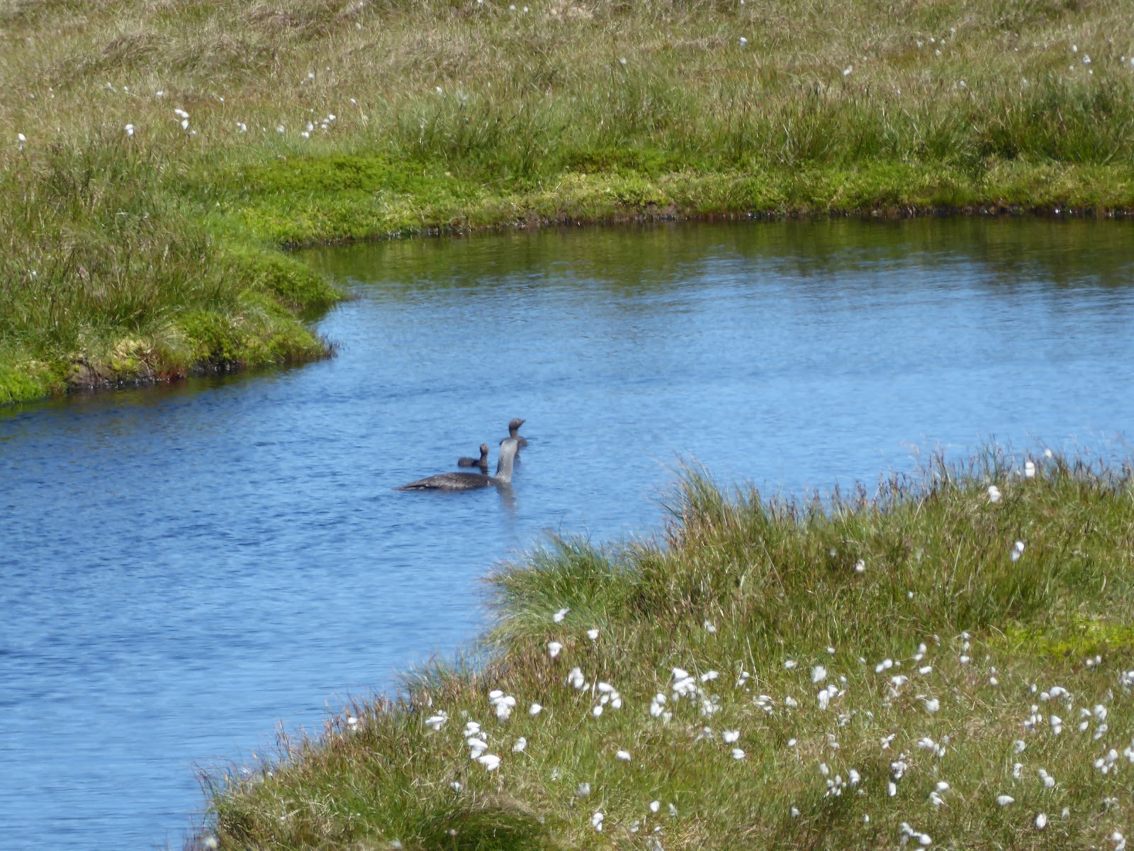
Another 2 Red Throated Diver Chicks waiting for Mum


Reach the Summit Before Ludowic Stone 252M

On towards Dale Scord Hill

Then head for Riding Hill


Golden Plover tells me the way


Passed Geese Chicks

Its a dry summer

Looking Back

And onward to Gallow Hill


A Glimpse Of Sullom Voe Oil Terminal

As I head to Ladie Hill

Another Landing Strip long enough for a Red Throated Diver

There she is !


Convenient path on Watershed at Gary Couper Street


Through the Playpark

And The garage car park

Looking back At Brae as I head up the Park


On towards Mavis Grind


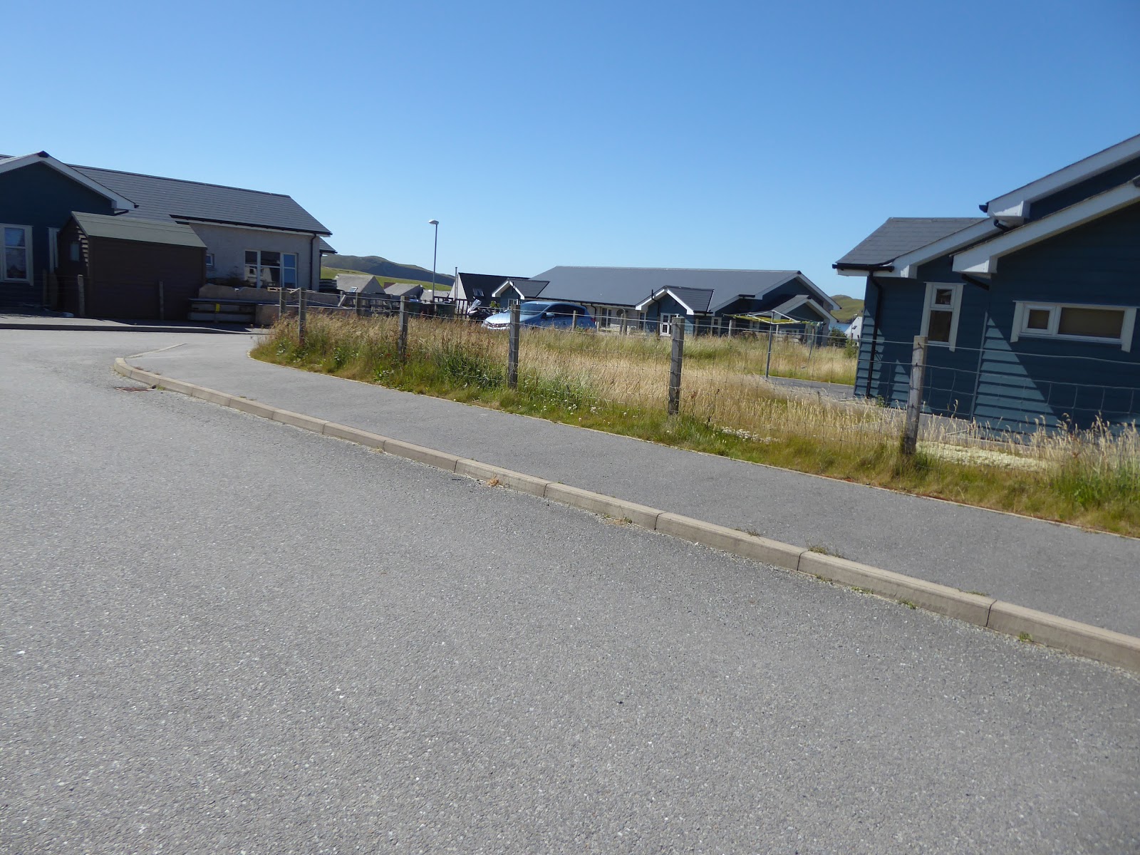
Heading to a private housing scheme on route to Ward of Runafirth


The Housing Scheme sits right on the Watershed. You are within the accepted boundaries if you go either side or wind your way through it. I've done all three when planning this. This time I wind my way through it.


Hurray back into the hill

Looking North to Mavis Grind

The top of Runafirth 97 M


The Famous Bousta House hotel. Well worth a visit.

On past Houlls Water


First Glimpse Of Mavis Grind


Mavis Grind 33M isthmus separating the Atlantic and the North Sea. Good place to spot otters

Careful descending here!


I have tried descending here 2 ways, firstly following the fence from the top, secondly joining the fence midway down by edging in between the top rocks in picture on the horizon and the lower cliff face. I would recommend going further West than both these routes, by maybe 50M then coming down the more gentle slope. you will be further off the watershed but still within accepted boundaries.

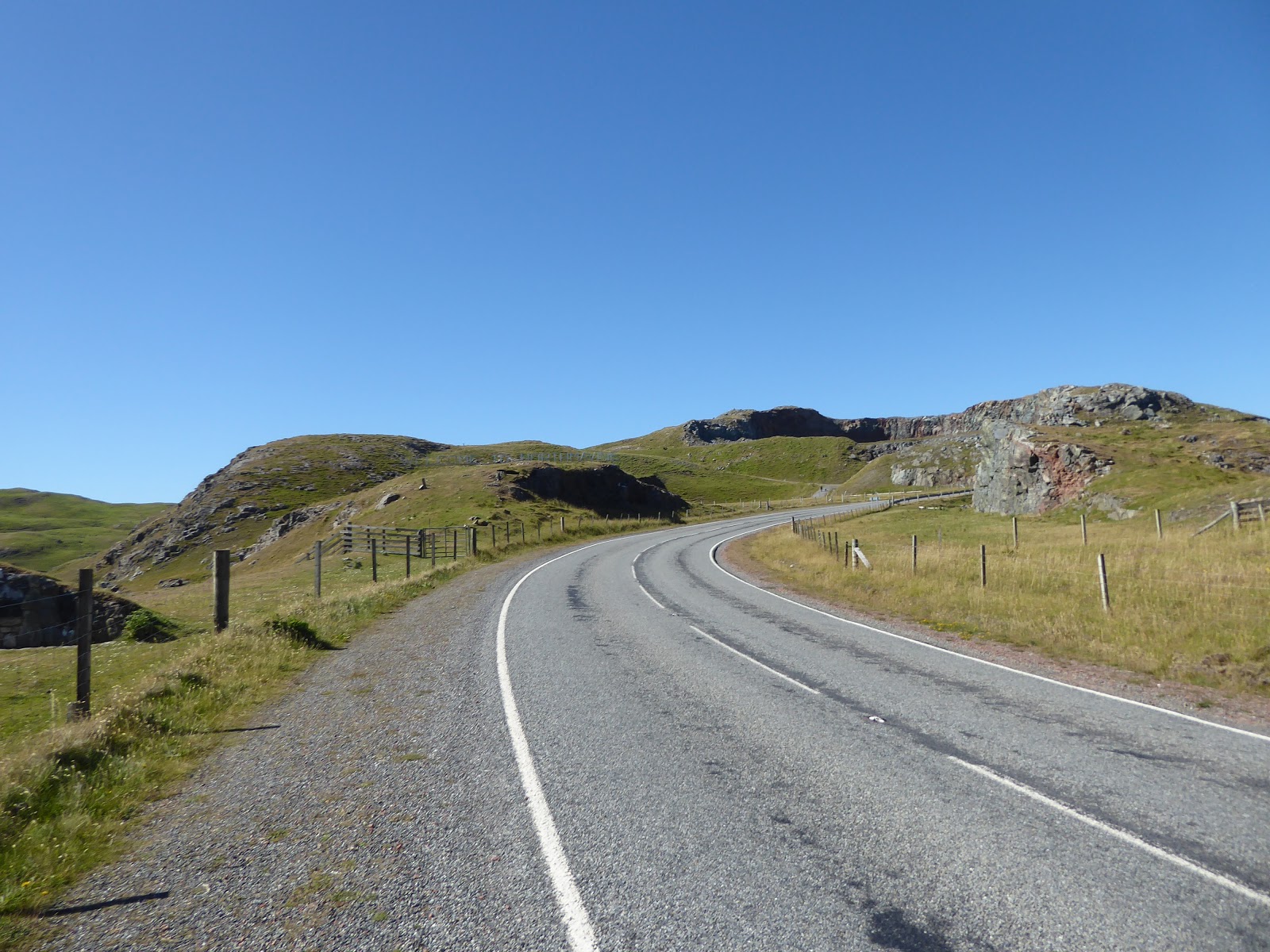
Follow the road to the Quarry
The Virdins quarry lies on the watershed so we must go around it


Looking out to the West


Sheep at summit

Looking down onto Islesburgh


End of Todays Walk at road.

Daily Mileage 12.14 miles
Ascent 689M
Descent 714M
No comments:
Post a Comment