From Campsite to Fethaland
03/07/2018
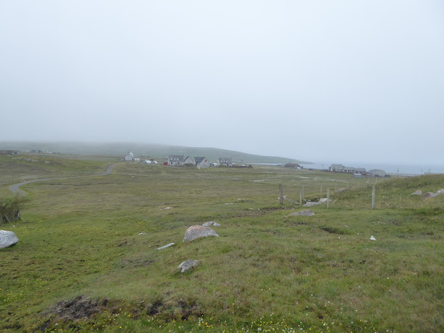
By the time I broke camp visibility was only about 20 - 30 M
Photos became a waste of time and I had to watch my feet so that I didn't step on any nests
I was able to navigate the watershed using my ViewRanger App on my phone. I followed the route that I had mapped when I plotted it earlier in the year
Picked up some discarded litter on route.
Through the mist I spy the Trig point on top of the Beorgs of Skelberry 196M (198M)
I then pass a cairn and head down hill to the NE to the marsh
Looking back up at the Beorgs of Skelberry
I then head on past Hadd towards the last cottage before the Uyea road
I pass to the south side of the cottage and head towards the school
Looking back at the cottage and Shetland Ponies
Through the Marsh and Bog Cotton behind the School
And on to the interesting information board
Through thick mist all I can see are some meadow flowers
Through another marsh and past the cottage at the Loch of Houllsquey then up to Trig point at Lanchestoo 130M
Down hill and past Upper Loch of Setter then on to Murchin and cross to Crogans
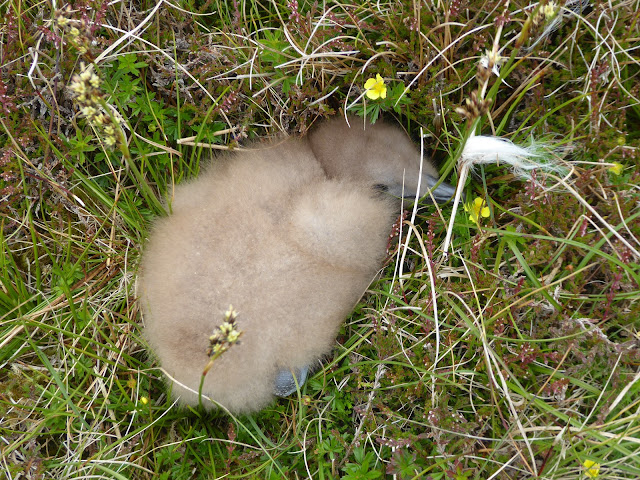
At the Rigg of Breibister I meet a Bunxie chick
Follow the watershed on towards Fethaland
Head down to the ruins of the old fishing station and past the Neolithic round house
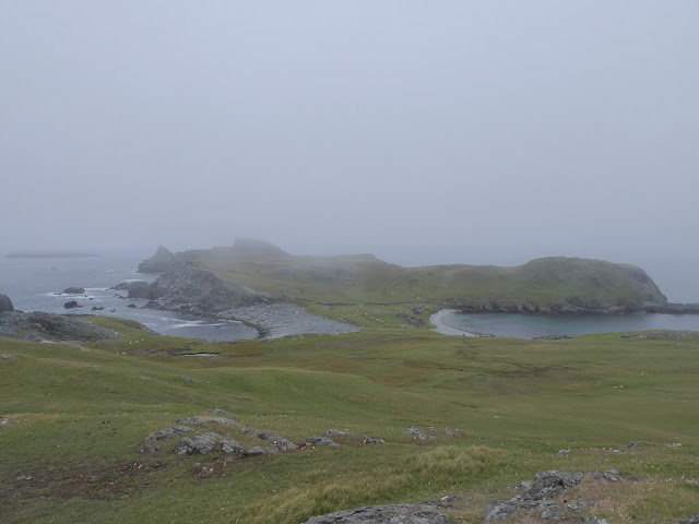
looking back as I follow the cliffs. Beware these are some of Shetlands most "rotten" Cliff edges.
On to the unmanned light house
And on to the most northerly point


The end looking out over the Stuack towards the Ramna Stacks

Days total from campsite to Point of Fethaland.
Mileage 12.42Miles
Ascent 596M
Descent 731M

Mileage 3.8M
Ascent 228M
Descent 223M


Weel done Neil. A great effort, a great story and lots of great photograhs.
ReplyDeleteExcellent work Neil, I'll hopefully do it myself before too long. Thansk for getting in touch. Kevin
ReplyDelete